Connect Survey with Geographic Information SystemAutoPlotter® GIS+AutoPlotter® GIS+

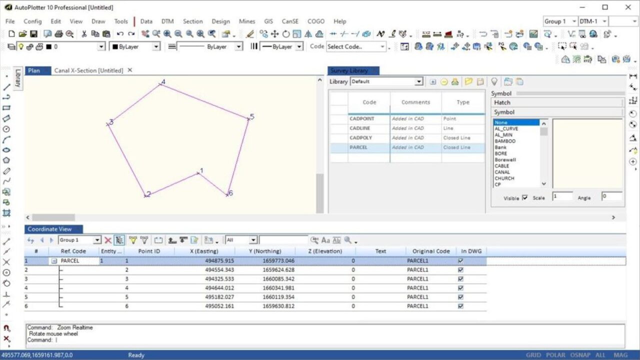
Build maps with advance functionalities of automatic parcel/block creation for complete GIS mapping.
https://test.infycons.com/wp-content/uploads/2021/10/gis-intro-1280x1280.jpg

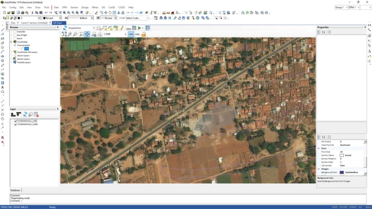
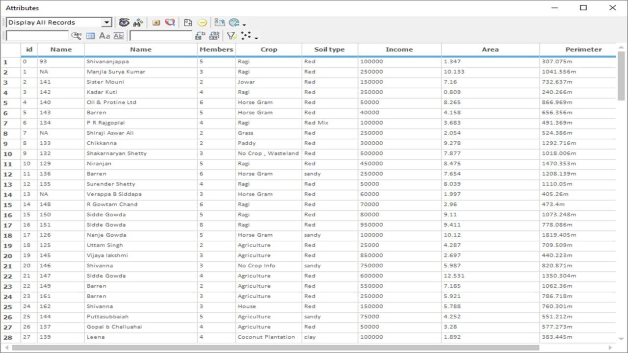
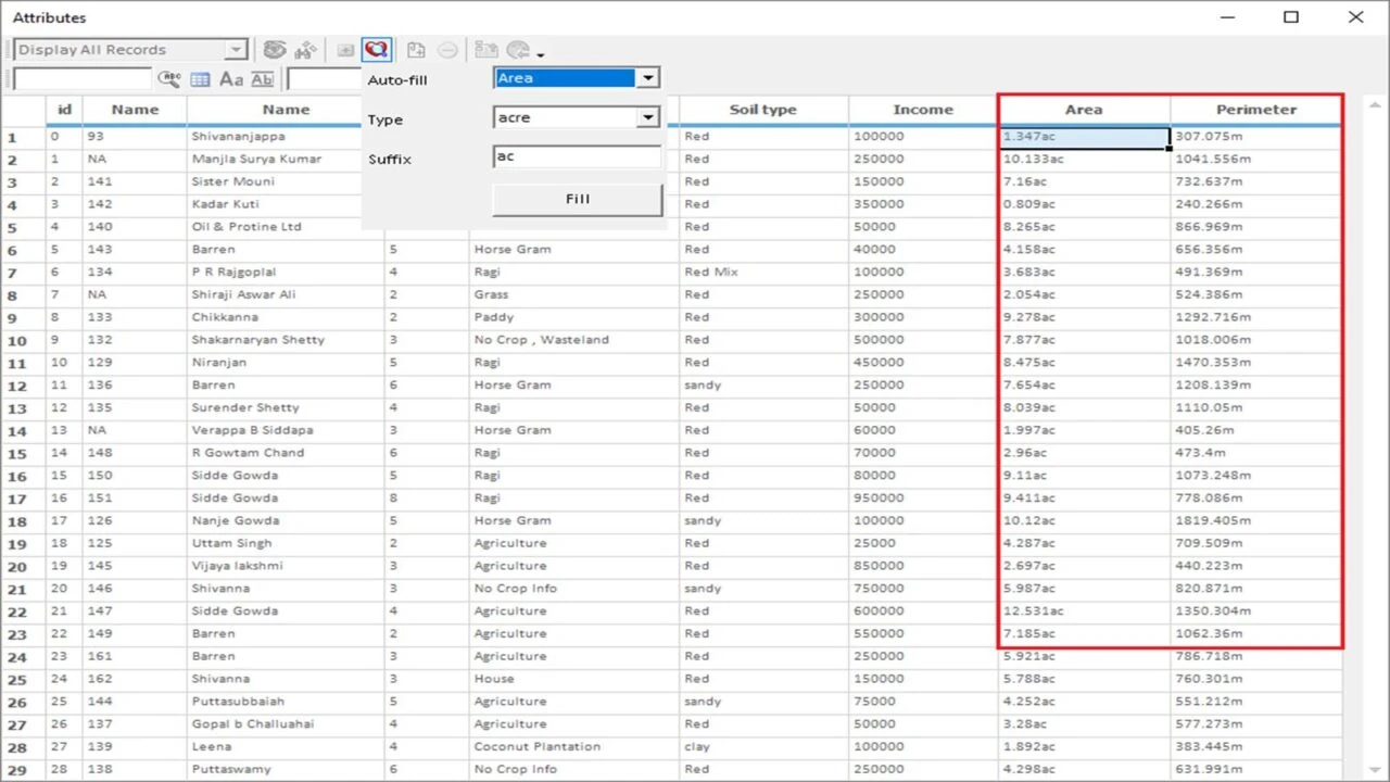
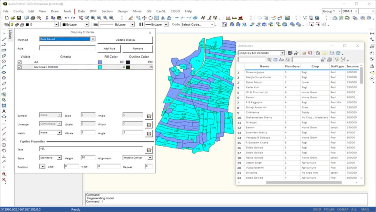
AutoPlotter GIS+ provides value addition for GIS mapping with functionalities of automatic parcel / block creation. This can be further overlayed with attributes that can be attached to entities. With query based search, data can be represented in drawing for visualization that will ultimately help in better decision making. Specifically useful for field staff to quickly prepare maps and attach attributes to them so that it can be adopted into the standard GIS environment.

Maintain geographically precise maps with current attributes record for effective land administration and decision support.

You can get the GIS module customized with geospatial intelligence to suit your application or project requirement. As it comes bundled with AutoPlotter, survey data collected from various instruments can also be brought into the same environment.

Land Information System
GIS based Applications / Portal

Top Reasons to choose AutoPlotter GIS+Reasons

parcel-creation-1280x720-1
overlay-map-1280x720-1
polygon-extraction-1280x720-1
compresed-img-1
update-record-1280x720-1
area-detection-1280x720-1
query-based-search-1280x720-1
compresed-img
geo-reference-images-1280x720-1

CapabilitiesGIS+

Parcel Creation
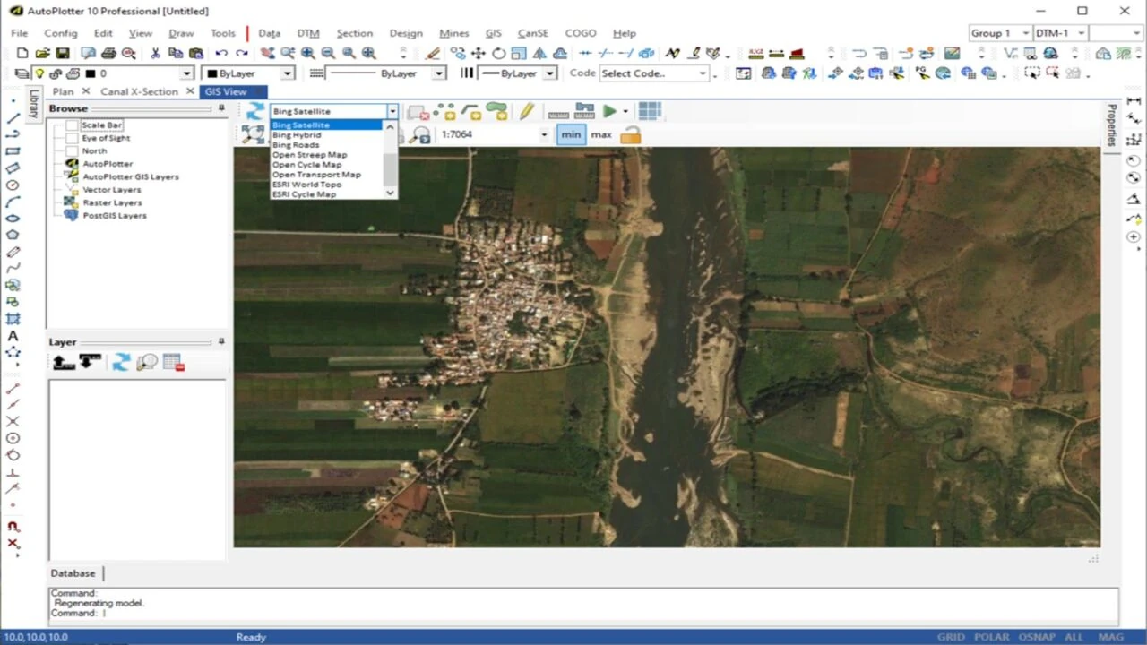
Base Map Support
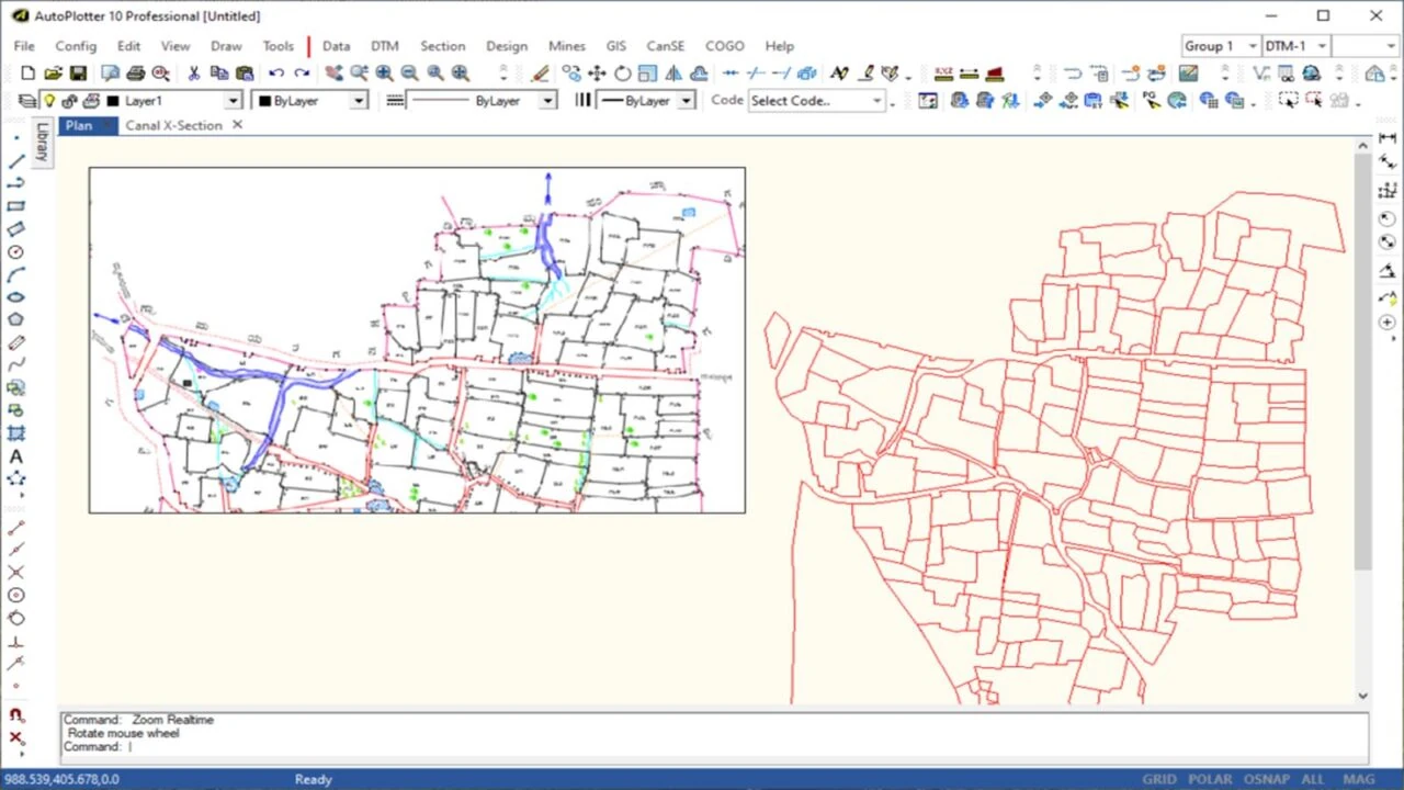
Polygon Extraction
GIS & Drawing Layers
Custom Filter Search
Auto Detection
Query Based Search
Ortho Image Import
Geo-reference Images
On-demand Webinar

AutoPlotter GIS+ Webinar Series is LIVE!

Learn and explore more about AutoPlotter GIS+ such as Topographic map creation, using Global DEMs for Preliminary Site Investigation and Attribute Creation of entities for GIS mapping.
News and announcements

AutoPlotter GIS+ latest

GIS Mapping – Know about GIS Mapping and How they work
GIS mapping works on collecting the data based on the relationship between the two points tied geospatially. The GIS mapping provides colour coded maps for different criterias as layers so that the geographers, land surveyors and mining engineers can be able to toggle between the layers to find elements of the maps like the existent landscape, underground electrical lines, underground pipe system or the water level by defining the contour of the place.
Read more
topographic map creation using autoplotter software
Topographic map creation using basemaps in AutoPlotter
Topographic map creation in AutoPlotter is a useful feature for the land surveyors that eases the topo drawing creation from the survey data captured from any make of total station or GPS. Maps can be generated automatically from the data having Northing, Easting, Elevation and reference code.
Read more
land mapping and land plotting software
Connecting land survey with Geographical Information System using “AutoPlotter GIS module”
AutoPlotter GIS Webinar on 06th November, 2020. Register now to know more.
Read more

People about GIS+What are our
clients sayingClients

Worth & Reliable

The software and training provided are very useful to us. We are thankful to your team who have given continuous support to use AutoPlotter GIS in our project successfully to meet our GIS mapping specific requirements. We expect such support in future also.

N Srinivasarao
Orient Cement Ltd.

A software you can trust

We operate the largest commercial port in India and to handle storage areas efficiently, the software has proven very useful to us while planning and execution as it supports the majority of the GIS formats, Aster / SRTM DEM / survey instruments data, ortho images and other basemaps.

Rabisankar Maity
Adani Ports & SEZ Ltd.

ab
indian oil
lnt
jsw
reliance
TATA
unitech
gayatri
acc
essar

FAQ's

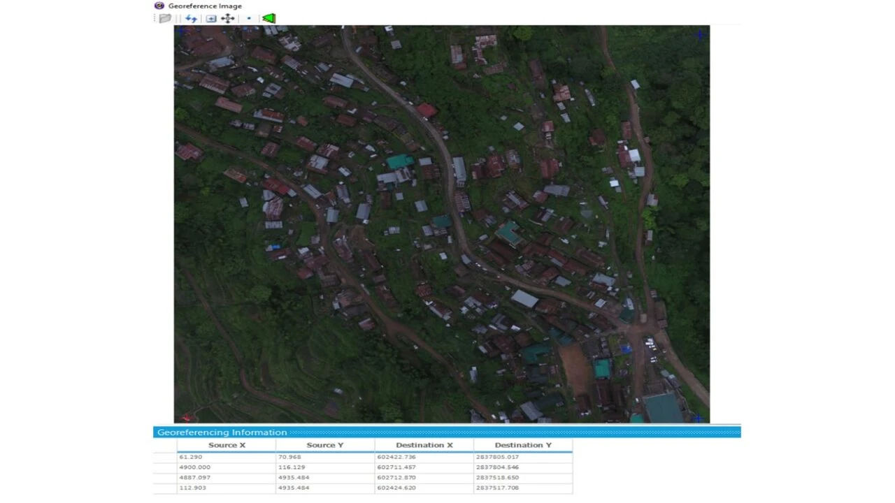
Is it possible to geo-reference in GIS module?

Yes, it is possible.

Can I import kml / kmz file?
Yes, kml, .shp, .geojson etc. file types can be imported or exported.
Does it support ortho images?

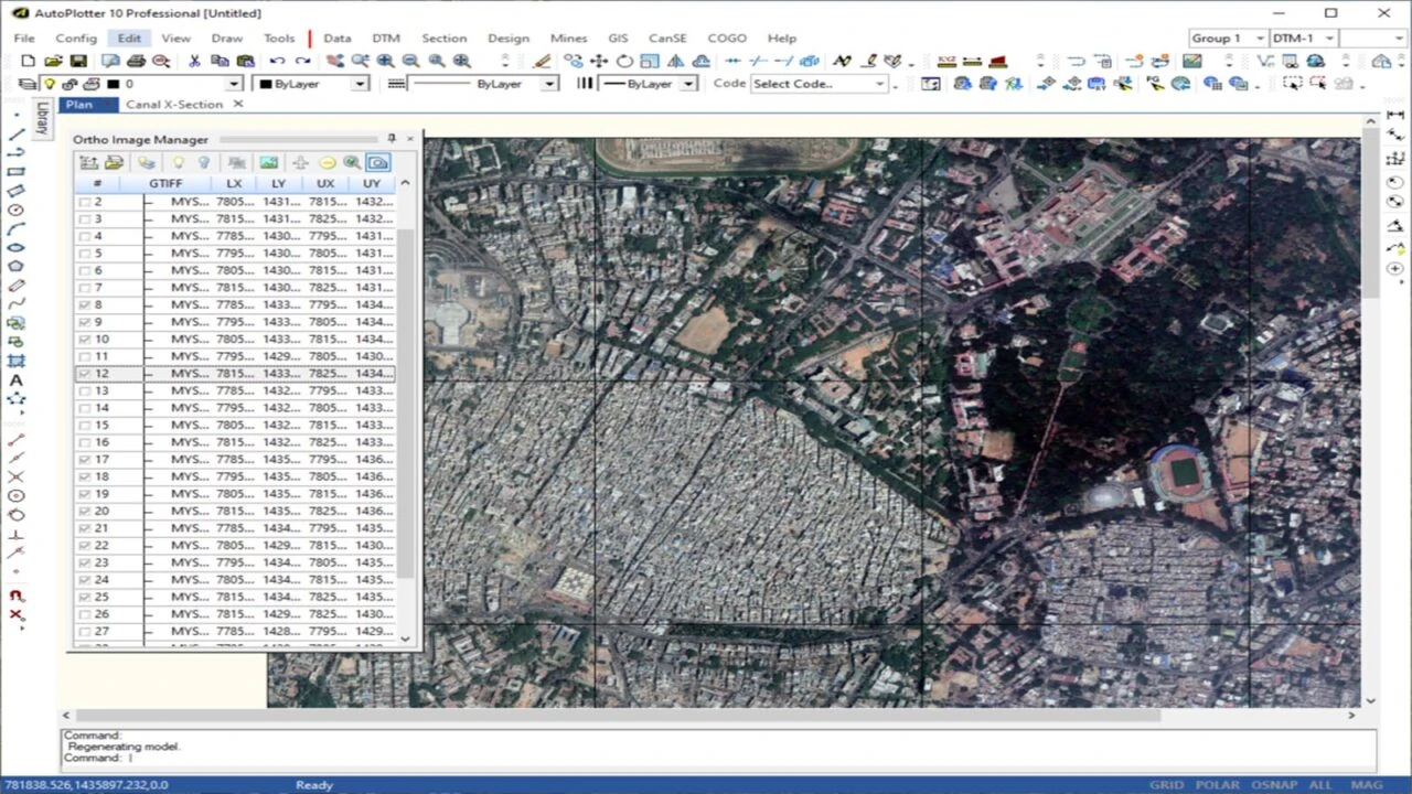
Yes, apart from different base maps, it is possible to load ortho images too that is obtained from drone data processing or from any other source.

Our project requires external database connection, is it possible?

Yes, it is possible to create external database connection for attributes definition.

Bengaluru
F-2104, 1st Floor, Tower B, Ardent Office One, Hoodi, Bangalore 560048, Karnataka, India.
Email us
sales@test.infycons.com
Give us a call
+91 80 66320710
Are you an existing user ?

AutoPlotter GIS+ InfyCare Web Subscription

AutoPlotter GIS+ InfyCare Web Subscription includes a wide of features to help you understand the product better and increase your ROI. The subscription comes along with your product AMC and offers: Quick Start Guide, On-Demand Tutorials, Latest Software Updates, One-to-one Trainings*, Consultations*, Feature Request, Priority Support, Refer and Earn^.

Contact Us