Civil Engineering Software

Expedite construction project lifecycle using the most versatile software.

Transportation EngineeringDesign

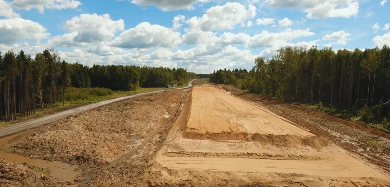
Geometric design and quantity takeoff for any type of highways project.

Land Surveying SoftwareAutomate

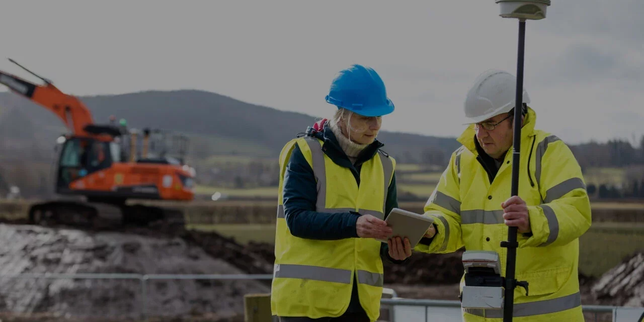
Complete solution for Land Surveying with built-in CAD environment.

GIS MappingSwift

Tools to connect land surveying with Geographic Information System.

Software

Civil Engineering software for Land Surveying, Estimation and Geometric Design.

Solutions

Industry specific solutions from planning till complete execution of construction projects.

Training

Standard and customized trainings with certifications at regular intervals.

Affordable and BestCivil Engineering
Software Solution Provider

Infycons, one of the leading software solution providers for civil engineers, are pioneers in servicing the different needs of the civil engineers involved in the roadways, highways, and land surveying. As the best civil engineering software providers, the company has over two decades of experience in providing surveying solutions.
Surveying Solution

Our mission is to create the best and affordable Civil Engineering software solutions and deliver them to our clients.


Sandipan Chakraborty

Director

Infycons valuesSolution for
'the Engineers'

Uniquely enable infrastructure development with faster, precise and proven Civil Engineering software solutions. Customer centric approach to involvement at every stage of the process for successful project completion.
ab
indian oil
lnt
jsw
reliance
TATA
unitech
gayatri
acc
essar
What we do

Passion that builds excellence

Providing the best civil engineering software solutions, consulting and training for civil engineering requirements globally. Quick deployment of solutions for meaningful data processing with minimal efforts and time.
Customer Happiness98%
Acceptance96%
ROI99%
Infycons Consulting Service
Land Surveying Solution
Surveying Solution

We Deliver Best Software for Civil Engineering

Our software solutions help ease your work with a sense of perfection. We have a collection of the best software used in civil engineering. We also provide transportation engineering software, software for railway construction, canal construction, and other civil engineering related softwares.

AutoPlotter

AutoPlotter

AutoPlotter is a general application with powerful features for faster and accurate land survey data processing. Our customers have used the civil engineering software for land development, route planning, mining, hydrographic and hydrological requirements.

GIS mapping software

AutoPlotter GIS+

GIS+ provides value addition for mapping with functionalities of automatic parcel / block creation. Specifically useful for field staff to quickly prepare maps and attach attributes to them so that it can be adopted into the standard GIS environment.

road design software

Road Estimator

Road Estimator, one of the best estimation software for civil engineering eases quantity surveying of roads, highways, expressways & railways construction by quick cross section generation & quantity calculation. Most preferred software by contractors, consultants and approved by various agencies.

highway design software

AutoRoads

AutoRoads is a design suite catering to the needs of consultants and contractors in highway design. AutoRoads features unique integration between geometric design aspects giving the designer complete control during entire design process.

Canal cross section plotting software

CanSE

Canal Section Estimator (CanSE) module is ideal for cross section generation and quantity calculation of canal. CanSE has features for drop design based on criteria which is particularly useful for design of branch canals, equipped to define drains.

What are our
clients saying?Clients

We started using AutoPlotter Road Estimator system for our Greater Noida Expressway project way back in 2001 and now AutoPlotter Road Estimator has been an integral part for any of our infrastructure Projects. One of the greatest virtues of Road Estimator is in-depth domain knowledge on Road Construction and an extremely easy user interface.

Vikas Birla
Soma Enterprises Limited

Excellent software! I was recommended to use Road Estimator because our project requirements in the Mumbai – Pune Expressway were complex. Road Estimator has very efficiently handled all complexities and made the quantity calculation very easy for us.

Avinash
Gayatri Projects Limited

The software meets main criteria that most surveyors are looking for. AP provides a package that is easy to use, increases productivity, and does not make a dent in the pocket. With a little familiarity of CAD, the learning curve is nonexistent. This is one of the most user friendly software that I have seen in many years for Surveyors!

Hitesh Desai
Unique Survey

We made Road Estimator part of our road projects long back. Special mention about its features for hill road construction, high embankment, deep cut, different types of retaining structures.. our job was much easier with the tool.

Vinay B
DRN Infrastructure

Infycons Surveying solution
On-the-go Subscription

AutoPlotter
Advanced

Infycons, one of the best surveying solutions providers, is on the lookout to do the best for our clients. AutoPlotter Advanced has been made to support the land surveyor in generating topographic and contour maps with built in CAD and other important features necessary to generate the complete drawing.

Engineering the best solutions

Industry specific Civil Engineering software solutions to meet the project requirements. Tailored solutions for Land Surveying, Roads and Highways. Mining, Railways and Irrigation construction activities.

Survey mapping software

Surveying

Manage and control survey data to process and produce final deliverables with speed and accuracy.

Road design software

Roads & Highway

Design, generate cross sections and estimate quantities of any type of road with ease and precision.

mine surveying software

Mining

Process survey data to create maps, strata-wise cross section and detailed volume calculations with precise reports.

Railway track cross section

Railways

Incorporate design changes or field level data for speedy estimation and calculations of material quantities.

irrigation solution infycons

Irrigation

Generate cross sections and quantities of new or existing canals for resurfacing & strengthening.

Webinars and Training from infycons
Stay ahead

Join us for live webinars and trainings

News and announcements

Infycons latest

Quantity takeoff of varying road construction Layers
Road construction layers are a complex and challenging aspect for various stakeholders involved in road construction, including engineers, contractors, and quantity surveyors. One of the major challenges in road construction is the frequent changes in the cross-profile and pavement layers of the road. as per the design and site conditions. The cross-profile refers to the...
Read more
canal cross section plotting software
Cross Section data generation using AutoPlotter
Cross sections generation is required in many of the construction and infrastructure development activities like mining, roads, railways, airports, real estate to name a few. The data collection varies from site to site.
Read more
All you need to know about Land Mapping & Land Plotting software
Topographic map creation in AutoPlotter is a useful feature for the land surveyors that eases the topo drawing creation from the survey data captured from any make of total station or GPS. Maps can be generated automatically from the data having Northing, Easting, Elevation and reference code.
Read more
Filter Media Definition for Retaining Wall in Road Construction
Topographic map creation in AutoPlotter is a useful feature for the land surveyors that eases the topo drawing creation from the survey data captured from any make of total station or GPS. Maps can be generated automatically from the data having Northing, Easting, Elevation and reference code.
Read more
Longitudinal Section (L Section of Road) and Cross Section of Road
GIS mapping works on collecting the data based on the relationship between the two points tied geospatially. The GIS mapping provides colour coded maps for different criterias as layers so that the geographers, land surveyors and mining engineers can be able to toggle between the layers to find elements of the maps like the existent landscape, underground electrical lines, underground pipe system or the water level by defining the contour of the place.
Read more
GIS Mapping – Know about GIS Mapping and How they work
GIS mapping works on collecting the data based on the relationship between the two points tied geospatially. The GIS mapping provides colour coded maps for different criterias as layers so that the geographers, land surveyors and mining engineers can be able to toggle between the layers to find elements of the maps like the existent landscape, underground electrical lines, underground pipe system or the water level by defining the contour of the place.
Read more
topographic map creation using autoplotter software
Topographic map creation using basemaps in AutoPlotter
Topographic map creation in AutoPlotter is a useful feature for the land surveyors that eases the topo drawing creation from the survey data captured from any make of total station or GPS. Maps can be generated automatically from the data having Northing, Easting, Elevation and reference code.
Read more
Road Estimator – Hill Road Estimation
To achieve optimum design where road alignment is attained as per design standards and without excessive costs, it is necessary for the road designer to choose cross sectional elements wisely that helps to accomplish the final geometric design requirements.
Read more
Road Estimator – Widening & Strengthening of Roads
Strengthening of existing road is carried out to increase the stability of road to meet the increased demand in traffic or other criteria. Procedure wise, the existing road should be corrected first with the profile corrective course (PCC) followed by the surface layers.
Read more
Road Estimator – Get final output in direct printable format
When it comes to report generation, complete area, volume or length reports are to be generated as per requirement. To understand, cutting & filling area of a cross section can be generated in full for the entire cross section. But if the construction is planned only for one side, area should be generated only for that portion.
Read more
Contour mapping software
Quick and easy contour generation
Labelling the contours so that the map is easily read and visualized is a critical part. In AutoPlotter contours can be annotated at end, at specified interval along contour line, at line intersections and / or at selected locations of contours.
Read more
road cross section
Road Estimator – Easiest software for cross-section and quantity calculation
Road Estimator (RE) has proved to be an important software tool to automate the entire process of quantity takeoff. Working stage cross sections and quantities can be estimated using the design data such as the finished road levels, pavement layer details, super-elevation etc.
Read more
Total station survey software
How AutoPlotter handles various survey data types
AutoPlotter is compatible with data received from almost all the conventional and modern surveying instruments.
Read more
land mapping and land plotting software
Connecting land survey with Geographical Information System using “AutoPlotter GIS module”
AutoPlotter GIS Webinar on 06th November, 2020. Register now to know more.
Read more
Median or Footpath (Sidewalk) Kerb
While defining template in Road Estimator, kerb can be inserted by selecting the required one from the list displayed. The point of insertion can be median, carriageway, paved shoulder, earthen shoulder edge on either left side or on the right side of the road.
Read more
Topographical and contour mapping software
Topography and Contouring using AutoPlotter
Topography and Contouring using AutoPlotter - Webinar on 25th August, 2020. Register now to know more.
Read more
Road estimator software
Introduction to Road Estimator
It requires a great effort to complete road construction project successfully. While all the stakeholders have crucial roles to play, quantity surveyor’s responsibility in replicating the actual site conditions to get the accurate estimate or as-built quantities is equally important.
Read more

FAQ

Which software is best for land surveying?

The best software for land surveying is the AutoPlotter GIS+. It allows the user to make a complete topographic map with contours & making it GIS ready, generate cross sections and longitudinal sections with or without proposed cross profile, calculate area / volume reports, and many tools that a land surveyor finds useful. The software is capable of parcel creation, polygon extraction, GIS drawing with different layers, attribute definition query-based search, and geo referencing images.

Which industries can use our software for their civil works and how would it benefit them?

Civil engineering industry, mining industry, highway department, and other public works departments that deal with the natural infrastructure and man made infrastructure.

Does Infycons provide training for products related to software?

Yes. Infycons provides product related training. We help our customers to get an idea of how our products can be put to best use for their various needs. We also have different training patterns for different needs: corporate/company training, educational institute training, and professional training. You can also customise the training and choose a self-paced training module.

What is the difference between AutoPlotter Pro and AutoPlotter Advanced?

AutoPlotter Pro – the professional version has all the features pertaining to land surveying, while AutoPlotter Advanced has only contouring and topographic map generation facilities. AutoPlotter Advanced is an economical software for the day-to-day activities of a land surveyor. AutoPlotter Pro is extensively used for field work where section generation, area / volume calculation and working with DTM surface in detail is required majorly apart from contouring and topographic mapping. It is mostly used for mining, land development, hydrology, hydrography, and route planning.

Why is Road Estimator software used in the transportation engineering field?

Road Estimator is used in the transportation engineering field as it helps in fulfilling the tedious needs of quantity take off and cross section generation. The software supports stakeholders at planning and designing as well as at the construction stages. Road construction contractors and consultants use it to obtain accurate material quantities with detailed section drawings at regular chainage intervals.

How is AutoPlotter software most useful for civil engineers in India?

Civil Engineers find AutoPlotter useful in many of the construction activities such as land development, grading, route planning, earthwork or stock volume calculation, slope area detection etc. primarily wherever land surveying is carried out. The software imports data from almost all surveying instruments and helps to generate topographic & contour maps. Many of the users find the various methods of section generation and volume calculation extremely handy to suit their requirements.

Contact Us